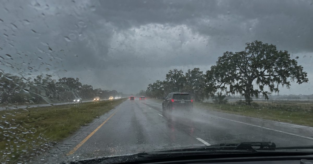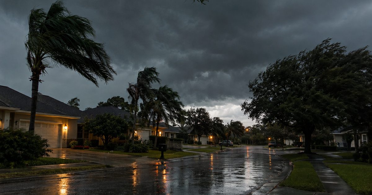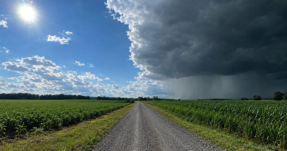
If 2026's weather has felt like whiplash, there's a reason. The year started under a weak La Niña, slid into neutral conditions in the spring, and by summer had flipped into El Niño. By September, NOAA was giving that El Niño a better-than-90-percent chance of becoming very strong this fall and winter.
El Niño and La Niña get mentioned in every forecast, but they're easy to mix up. Here's the plain-English difference, how each one changes weather across the U.S., and what this year's switch means for how you prepare.
Two Sides of the Same Cycle
El Niño and La Niña are opposite phases of one natural pattern in the Pacific Ocean, which scientists call ENSO (El Niño–Southern Oscillation). Think of it like a seesaw:
- El Niño is the warm side. Surface water in the central and eastern Pacific runs warmer than normal.
- La Niña is the cool side. That same stretch of ocean runs cooler than normal.
- Neutral is the middle, when neither one is in charge.
The seesaw tips every few years, and each tip changes where storms form over the Pacific. That shifts the jet stream, the high-altitude river of air that steers storms across North America. For a deeper explainer on how El Niño works, see what El Niño is and why 2026 is different.
Where the Names Come From
The name El Niño comes from Spanish for "the boy child." Fishermen off the coast of Peru noticed the unusually warm water often showed up around Christmas and named it after the Christ child. La Niña, "the girl child," was later used for the cool opposite. Neither name has anything to do with how hot or cold your town gets. In fact, a strong El Niño often brings a cooler, wetter winter to parts of the southern U.S.
How Each One Changes U.S. Winters
The two phases often produce near-opposite winters.
During El Niño:
- The southern U.S. tends to be wetter and stormier, from California to Florida.
- The northern tier tends to be milder, with fewer deep cold snaps.
- The Pacific Northwest often runs warmer and drier.
- Atlantic hurricane seasons tend to be quieter, because El Niño increases the wind shear that tears storms apart.
During La Niña:
- The southern U.S. tends to be drier and warmer, which can feed drought and wildfire risk.
- The northern tier tends to be colder and snowier.
- The Pacific Northwest often gets wetter.
- Atlantic hurricane seasons tend to be more active.
These are tendencies, not guarantees. But they're reliable enough that forecasters build seasonal outlooks around them.
What Made 2026 Unusual
The speed and size of the switch. Going from La Niña to a very strong El Niño in a single year is a big swing, and NOAA's September update gave a 75 percent chance this El Niño becomes the strongest since records began in 1950. Our post on whether El Niño 2026 is a super El Niño has the details.
For households, a fast switch means last year's weather is a poor guide to this year's. If last winter was dry where you live, don't assume this one will be.
What the Switch Means for Your Prep
The practical takeaway is simple: prepare for this winter's pattern, not last winter's.
- Southern states: shift your focus from drought and heat to flooding, outages, and storms. Work through our El Niño flood preparedness checklist.
- Northern states: a milder winter is more likely, but cold snaps still happen. Keep your winter car kit and pipe insulation in place.
- Pacific Northwest: a drier winter can mean low snowpack and water shortages next summer. Our El Niño drought prep guide covers it.
Not sure which pattern applies to you? See our El Niño 2026 state-by-state breakdown.
What Comes After El Niño?
Here's the part most people don't think about. After very strong El Niño events, the Pacific often swings back toward neutral or even La Niña within a year or so. That happened after the strong El Niño of 1997–98, which was followed by several years of La Niña.
If that happens again, the southern U.S. could go from a soaking winter in 2026–27 to drier conditions in the following year. That's why some of your prep, like stored water, does double duty. It helps during floods, when tap water is unsafe, and during droughts, when water is restricted. A set of stackable Scepter 5-Gallon Water Storage Jug containers earns its spot either way.
How to Stay Ahead of the Next Switch
You don't need to track ocean temperatures yourself. Two habits are enough:
- Check NOAA's monthly update. The Climate Prediction Center publishes an ENSO update every month. The next ones are scheduled for October 8, November 12, and December 10, 2026.
- Keep a weather radio. A Midland WR120B NOAA Weather Alert Radio (S.A.M.E.) gives you official warnings for your county, whatever the season brings.
For the timing of this El Niño, see our month-by-month El Niño 2026 timeline.
Frequently Asked Questions
What's the main difference between El Niño and La Niña?
El Niño means warmer-than-normal water in the central and eastern Pacific. La Niña means cooler-than-normal water there. Each shifts the jet stream differently, which changes winter weather across the U.S.
Which is worse, El Niño or La Niña?
Neither is simply worse. El Niño raises flood and storm risk in the southern U.S., while La Niña raises drought, wildfire, and Atlantic hurricane risk. It depends on where you live.
Will La Niña come back after El Niño 2026?
It's possible. After very strong El Niño events, the Pacific often swings toward neutral or La Niña within a year or so, but forecasters can't say for sure this far out.
How often do El Niño and La Niña happen?
Each typically shows up every two to seven years, and an event usually lasts nine to twelve months, though some last longer.
Shop the full list on our Amazon storefront