You've probably seen the headlines: "super El Niño," "historic," "record-breaking." Some of that is hype. A lot of it isn't. As of NOAA's September 10, 2026 update, the Climate Prediction Center put the chance of a very strong El Niño this fall and winter at better than 90 percent. Even more striking, it gave a 75 percent chance that this event becomes the strongest since record-keeping began in 1950.
So, is it a super El Niño? Here's the short answer, the longer answer, and what it actually means for your household.
The Short Answer
Almost certainly, yes, at least by the way most forecasters use the phrase. But "super" isn't an official term. NOAA's highest category is "very strong," and this event has already pushed past that line.
What "Super El Niño" Actually Means
El Niño is measured by how much warmer than normal the surface of the central and eastern Pacific Ocean is. NOAA uses four strength levels: weak, moderate, strong, and very strong. A very strong event starts when that ocean water runs about 2.0 degrees Celsius (3.6 degrees Fahrenheit) above normal.
"Super El Niño" is the nickname forecasters and reporters use for events that blow well past that threshold. It isn't on NOAA's scale, but it's a useful shorthand for "one of the big ones." In NOAA's September update, sea surface temperatures in parts of the eastern equatorial Pacific were running more than 3.0 degrees Celsius above normal. That's well into big-one territory.
If you want the plain-English explainer on how El Niño works in the first place, start with what El Niño is and why 2026 is different.
How Rare Is This?
Very. In the modern record, only a handful of El Niño events have reached this level. The three most people remember are 1982–83, 1997–98, and 2015–16. Each one left a mark:
- 1982–83 brought severe flooding and coastal storm damage to California and heavy rain across the Gulf Coast.
- 1997–98 is the one many meteorologists still compare everything to. California saw repeated flooding and mudslides, and Florida was hit by a deadly tornado outbreak in February 1998, during what's normally a quiet time of year.
- 2015–16 brought record warmth to much of the northern U.S. and flooding in parts of the South, though California got less rain than many expected.
That last one is an important lesson. A strong El Niño shifts the odds. It doesn't write a guaranteed script.
What NOAA Is Actually Saying
NOAA's language is careful, and it's worth reading it that way. In its September discussion, the agency said El Niño was strengthening and that impacts consistent with El Niño are more likely, though not guaranteed. In plain terms:
- The ocean part is nearly certain. The Pacific is already extremely warm, and forecast models agree it stays very strong through winter.
- The weather part is likely, not locked in. Wetter conditions across the southern U.S. and a milder winter across the northern tier are the classic pattern, and this year's outlooks reflect it.
- Individual storms are still unpredictable. El Niño loads the dice for a stormy season. It can't tell you which week your street floods.
NOAA updates its El Niño forecast monthly. The next updates are scheduled for October 8, November 12, and December 10.
What a Super El Niño Could Mean for You
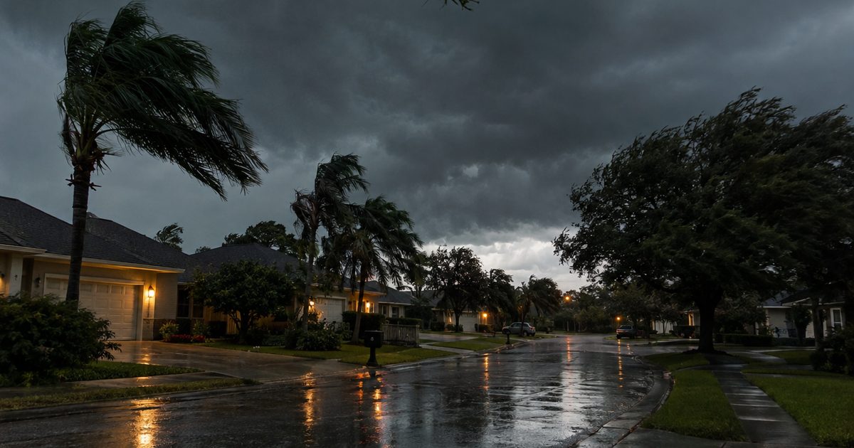
The classic strong El Niño winter looks like this: the jet stream shifts south, pulling a steady train of storms across California, the Southwest, Texas, the Gulf Coast, Florida, and the Southeast. The northern tier, from the Pacific Northwest to New England, tends to run milder than normal with fewer deep cold snaps.
For most households, that translates into three practical risks:
- Flooding in the southern half of the country, especially from repeated heavy rain on soil that's already soaked.
- Power outages from wind, falling trees, and the occasional ice storm when cold air does push south.
- Disrupted water and supplies when roads close and stores sell out.
Want the regional basics? Our El Niño explainer walks through which parts of the country trend wetter, drier, and milder.
What to Do About It
The best part of a forecastable event is the head start. You can't stop a storm, but you can make it boring.
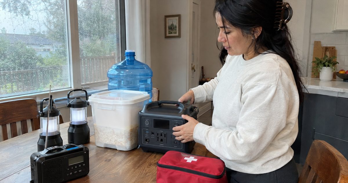
- Get a weather radio. A midland-wr120 wakes you up for warnings in your county, even when the power and cell service are down.
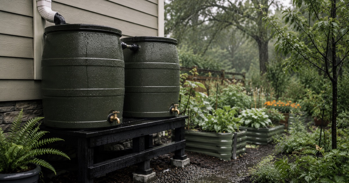
- Store water and food. Two weeks is the goal. Our water storage guide has the math.
- Plan for outages. Our power outage prep guide covers lights, phones, and keeping food cold.
- Check your flood risk. If you're anywhere near low ground, work through our El Niño flood preparedness checklist.
For a one-stop shopping list, see The Ultimate El Niño 2026 Prep Gear List, or browse our El Niño 2026 Prep Gear picks on Amazon.
Frequently Asked Questions
Is El Niño 2026 officially a super El Niño?
No agency officially uses the term "super." NOAA's top category is "very strong," which starts at about 2.0°C above normal ocean temperatures. This event has already passed that mark, so it fits what forecasters informally call a super El Niño.
Will El Niño 2026 be the strongest ever?
It's possible. NOAA's September 2026 forecast gave a 75 percent chance that the October–December period exceeds every El Niño on record since 1950.
When will we know how strong it gets?
Ocean temperatures are expected to peak in late fall or early winter. NOAA's monthly updates on October 8, November 12, and December 10 will track it, and the strongest weather impacts in the U.S. usually arrive from December through February.
Does a super El Niño mean a bad winter everywhere?
No. The South usually gets wetter and stormier, while the northern U.S. often gets a milder winter. Some regions, like the Pacific Northwest, can actually end up drier than normal.